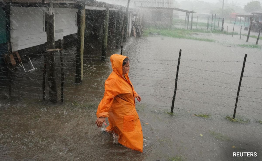

A woman walks on a flooded street as Storm Idalia makes landfall in Cuba on Monday.
Hurricane Idalia is crawling towards the Florida Gulf Coast, forcing mass evacuations in low-lying areas that are expected to be swamped once the Category 3 storm makes landfall on Wednesday morning (local time). It is expected to intensify into a Category 4 storm. What’s concerning is that the rare super blue moon, that’s coinciding with the hurricane’s landfall, can play a role in exacerbating flooding from the storm. The moon will be closest to Earth on Wednesday, for the second time this month.
While a supermoon can make for a spectacular backdrop in photos of landmarks around the world, its intensified gravitational pull also makes tides higher. And its impact will be visible not only in Florida but in Georgia and South Carolina too, according to Sky News.
Known as a king tide, these higher tides are caused by the extra gravitational pull that occurs when the sun and moon align with Earth.
“I would say the timing is pretty bad for this one,” Brian Haines, the meteorologist in charge at the National Weather Service office in Charleston, South Carolina, is quoted as saying by the outlet.
Idalia is expected to hit Florida’s coast at 6am (local time) on Wednesday.
New York Post said that the hurricane is still over 100 miles off the coast, but the rising tides have washed onto highways and overfilled canals.
Some users on X (formerly Twitter) have posted videos of the high-speed winds ripping through palm trees and kicking up miniature sand storms. NDTV cannot verify the authenticity of these viral clips.
At 11 pm on Tuesday, Idalia was carrying maximum sustained winds of 110 mph (177 kmph) and moving north at 18 mph (29 kmph), the National Hurricane Centre said.
(This news is published through a syndicated feed courtesy NDTV)


